© Tze Ching Ho
Benxi, Liaoning, China
Latitude: 41° 29' 32'' N
Longitude: 123° 41' 23'' E
29 September 2015 1635 (Local Time)
Image P/S code: P.4.11
Image I.D.: 5642
CL = 0, CM = 5, CH = 2
-
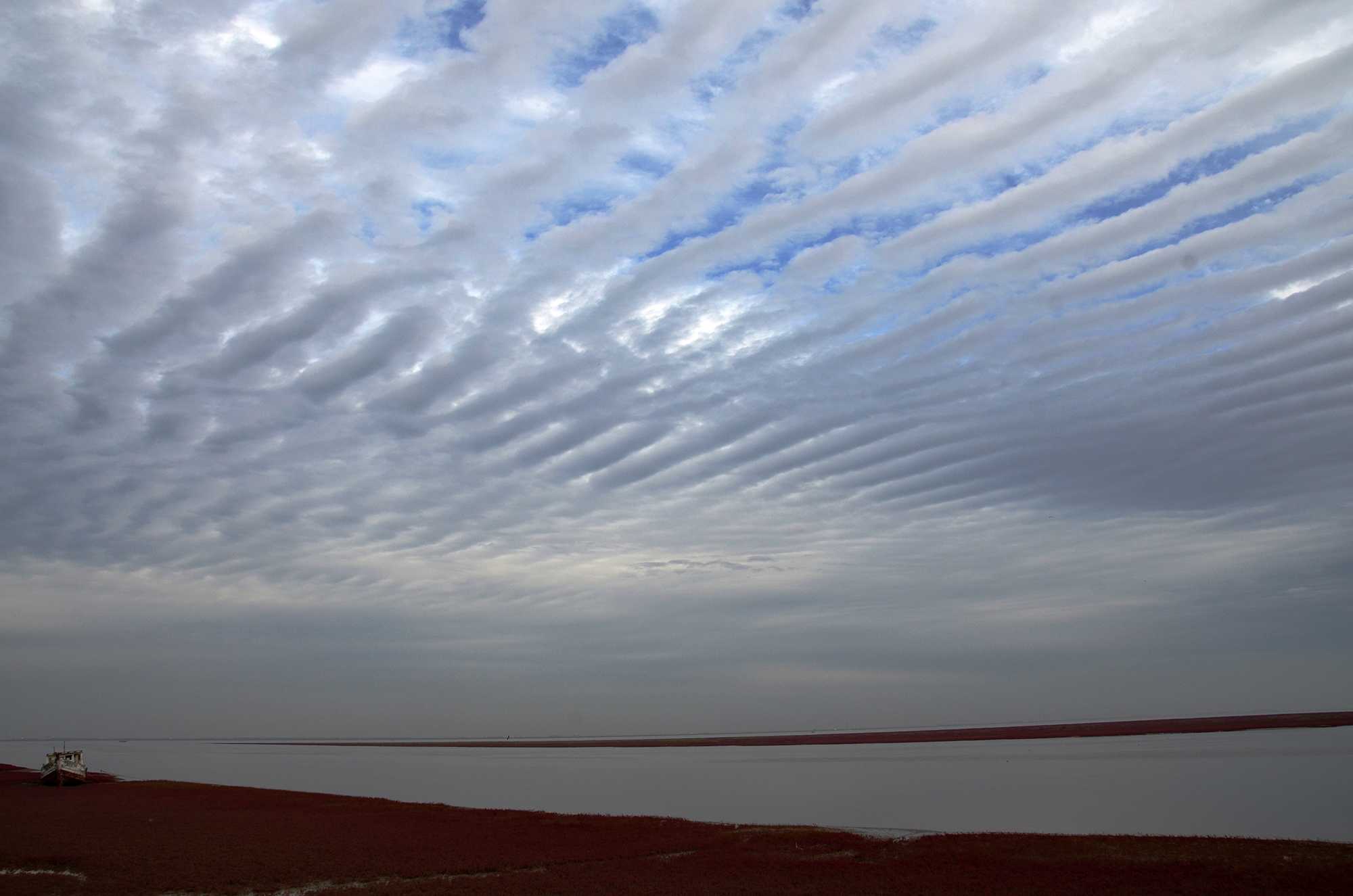
Invading Altocumulus stratiformis translucidus perlucidus undulatus
This is an excellent example of a thin (variety translucidus) sheet (species stratiformis) of invading Altocumulus where the long rolls of merged elements (variety undulatus) are merging into a thick layer upwind.
Through the small gaps (variety perlucidus), thick patches of Cirrus (species spissatus) are visible.
A nearby upper-air sounding confirmed a relatively high Altocumulus base of 5 500 m (18 000 ft).
Links in the image description will highlight features on the image. Mouse over the features for more detail.
© Tze Ching HoBenxi, Liaoning, ChinaLatitude: 41° 29' 32'' NLongitude: 123° 41' 23'' E29 September 2015 1635 (Local Time)CL = 0, CM = 5, CH = 2Image P/S code: P.4.11Image I.D.: 5642 The sounding is from 41 km north-north-west and 2.5 hours later. There is 98 %RH from 516 to 416 hPa (5 551 to 7 170 m) and high humidity from 333 to 295 hPa (8 785 to 9 635 m).© University of Wyoming
Altocumulus stratiformis undulatus translucidus perlucidus
This layer of Altocumulus (species stratiformis) is clearly translucent (variety translucidus) and gaps between the elements permit the sky to be seen (variety perlucidus)(2). The elongated elements, almost parallel to one another indicate the variety undulatus(4). The layer was invading the sky.
Links in the image description will highlight features on the image. Mouse over the features for more detail.
© Albert ReynoldsRobertson, South AfricaLatitude: 33° 47' 44'' SLongitude: 19° 52' 2'' E22 May 2014 1412 (Local Time)Camera direction: towards NCL = 0, CM = 5, CH = 0Image P/S code: S.4.11Image I.D.: 4735
Altocumulus stratiformis translucidus perlucidus undulatus
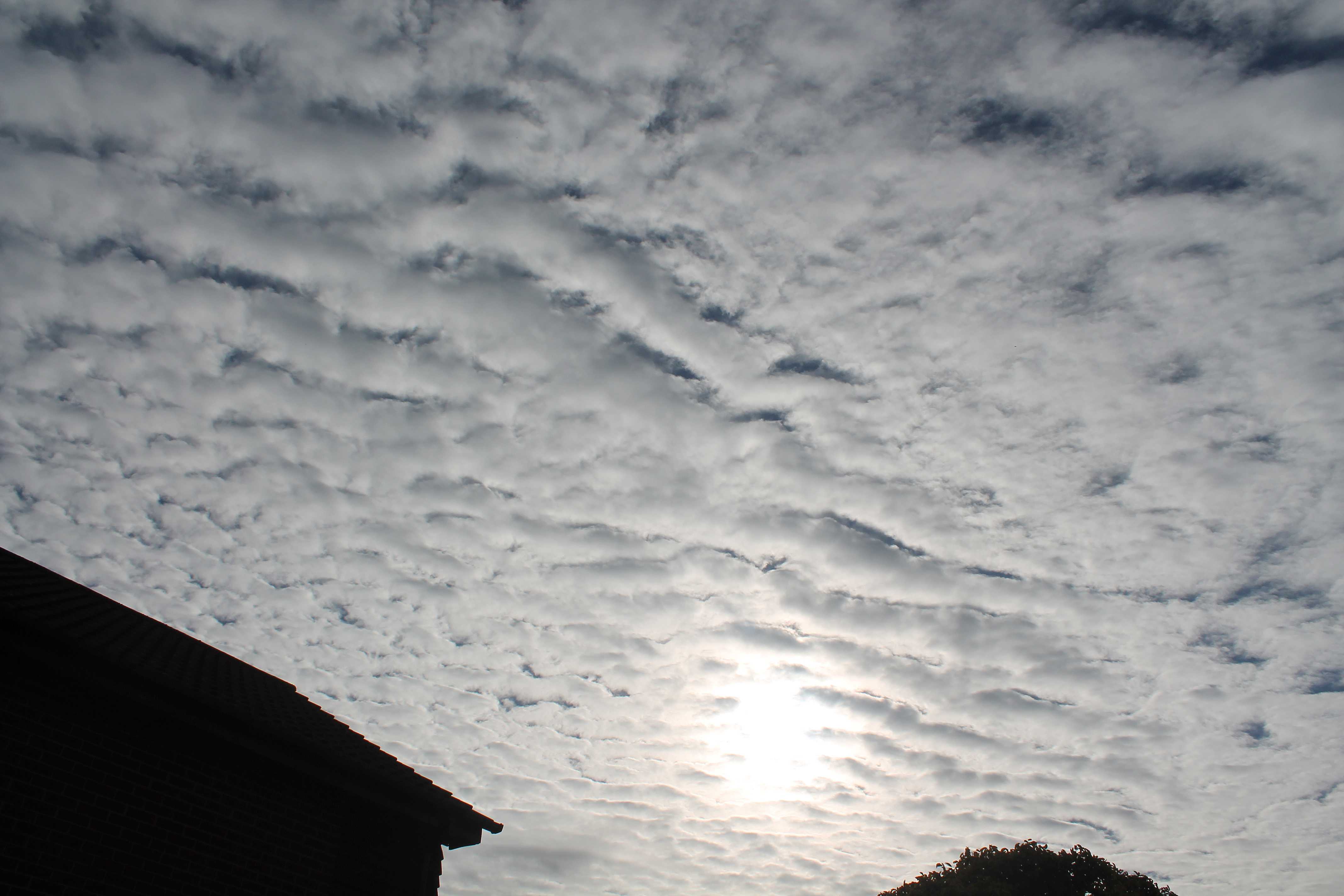
This layer of medium-level cloud is Altocumulus. Its rounded masses and rolls have an apparent width of between 1° and 5° and there is some shading. The specific species of this Altocumulus is classified as stratiformis, due to the cloud’s extensive coverage of the sky. The sheet of cloud is sufficiently translucent to reveal the position of the Sun, and so it is also of the variety translucidus. In places there are spaces between the cloud elements, which also indicates the variety perlucidus, and the enlongated and broadly parallel rolls indicate that the variety undulatus also applies.
Links in the image description will highlight features on the image. Mouse over the features for more detail.
© George AndersonWokingham, England, United Kingdom of Great Britain and Northern IrelandLatitude: 51° 25' 36'' NLongitude: 0° 49' 26'' W31 August 2014 0850 (Local Time)Camera direction: towards SECL = 0, CM = 3, CH = /Image P/S code: P.4.7Image I.D.: 5172Altocumulus stratiformis undulatus perlucidus from the air
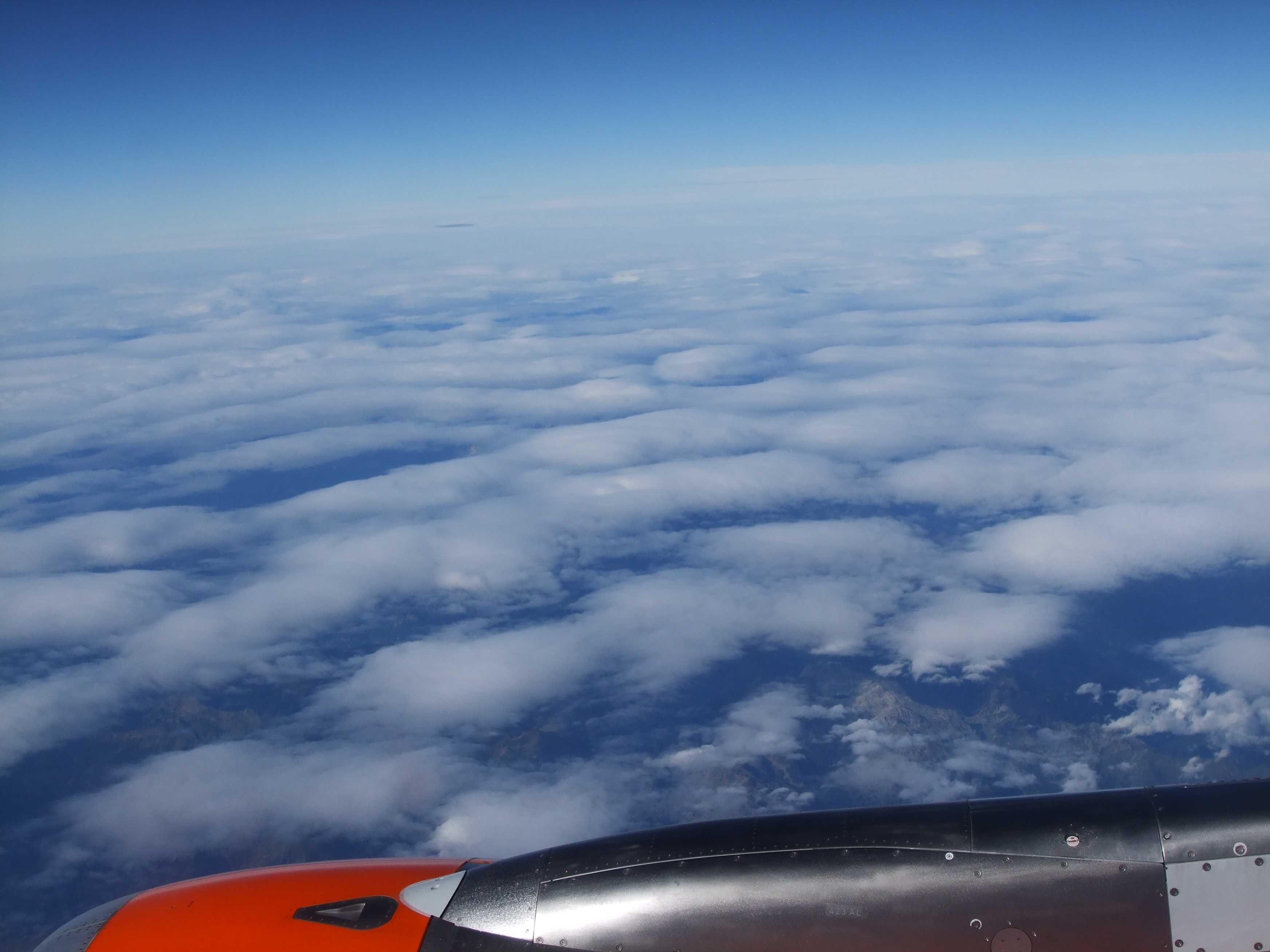
The photo shows a layer of Altocumulus stratiformis undulatus perlucidus, viewed from an aircraft at an altitude of approximately 1 1000 m over the Italian Alps. At the lower right of the picture, some Cumulus clouds can be seen over the mountains.
Links in the image description will highlight features on the image. Mouse over the features for more detail.
© George AndersonProvince of Trento, ItalyLatitude: 45° 45' 17'' NLongitude: 10° 52' 13'' E02 September 2013 1749 (Local Time)Camera direction: towards NCL = 0, CM = 3, CH = /Image P/S code: P.20.4.11Image I.D.: 5193
Altocumulus stratiformis perlucidus undulatus
The cloud layer is made up for the most part of fairly large rolls (1 - 2, 3 - 4), roughly rectilinear and parallel. Clear sky is visible between the rolls (variety perlucidus). The clouds were progressively invading the sky. The photograph was taken in a maritime polar air mass between a cold front and an occlusion, both of thundery character.
Links in the image description will highlight features on the image. Mouse over the features for more detail.
© A. ViautSaint-Palais-sur-Mer, FranceLatitude: 45° 38' 34'' NLongitude: 1° 5' 9'' W22 July 1950 1108 (Local Time)Camera direction: towards NNECL = 0, CM = 5, CH = 0

