© Steve Willington
Elmer, Oklahoma, United States of America
Latitude: 34° 30' 23'' N
Longitude: 99° 16' 20'' W
16 May 2015 1650 (Local Time)
Camera direction: towards SW
Image P/S code: P.10.9
Image I.D.: 4959
CL = 9, CM = /, CH = /
-

Cumulonimbus capillatus praecipitatio murus cauda flumen tuba
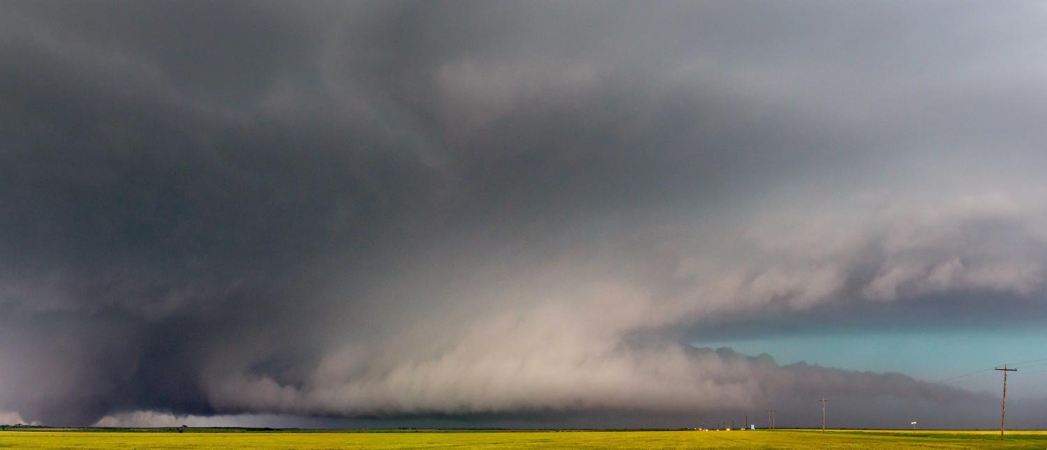
A large, or wedge, tornado is seen here beneath the wall cloud (murus) of this supercell storm viewed during the late afternoon in south-west Oklahoma, USA. A wedge tornado is a type of spout where the condensation funnel is at least as wide horizontally at the ground as it is high from the ground to the cloud base.
A horizontal, tail-shaped cloud extends at low level from the main precipitation region to the wall cloud (murus). This supplementary feature is a tail cloud (cauda). There is also a band of low cloud (flumen) moving in an inflow band into the supercell.
An upper trough approaching from the west resulted in a series of supercells developing from the south-south-west to the north-north-east across north-west Texas and south-west Oklahoma; this high precipitation storm, which was associated with large hail (golf ball to tennis ball size), was one of these.
Links in the image description will highlight features on the image. Mouse over the features for more detail.
© Steve WillingtonElmer, Oklahoma, United States of AmericaLatitude: 34° 30' 23'' NLongitude: 99° 16' 20'' W16 May 2015 1650 (Local Time)Camera direction: towards SWCL = 9, CM = /, CH = /Image P/S code: P.10.9Image I.D.: 4959