© Juan Carlos Molina Giménez
Victoria Falls, Zimbabwe
Latitude: 17° 55' 50'' S
Longitude: 25° 50' 36'' E
26 April 2014 1703 (Local Time)
Camera direction: towards E
Image P/S code: P.9.19
Image I.D.: 5463
CL = 2, CM = /, CH = /
-

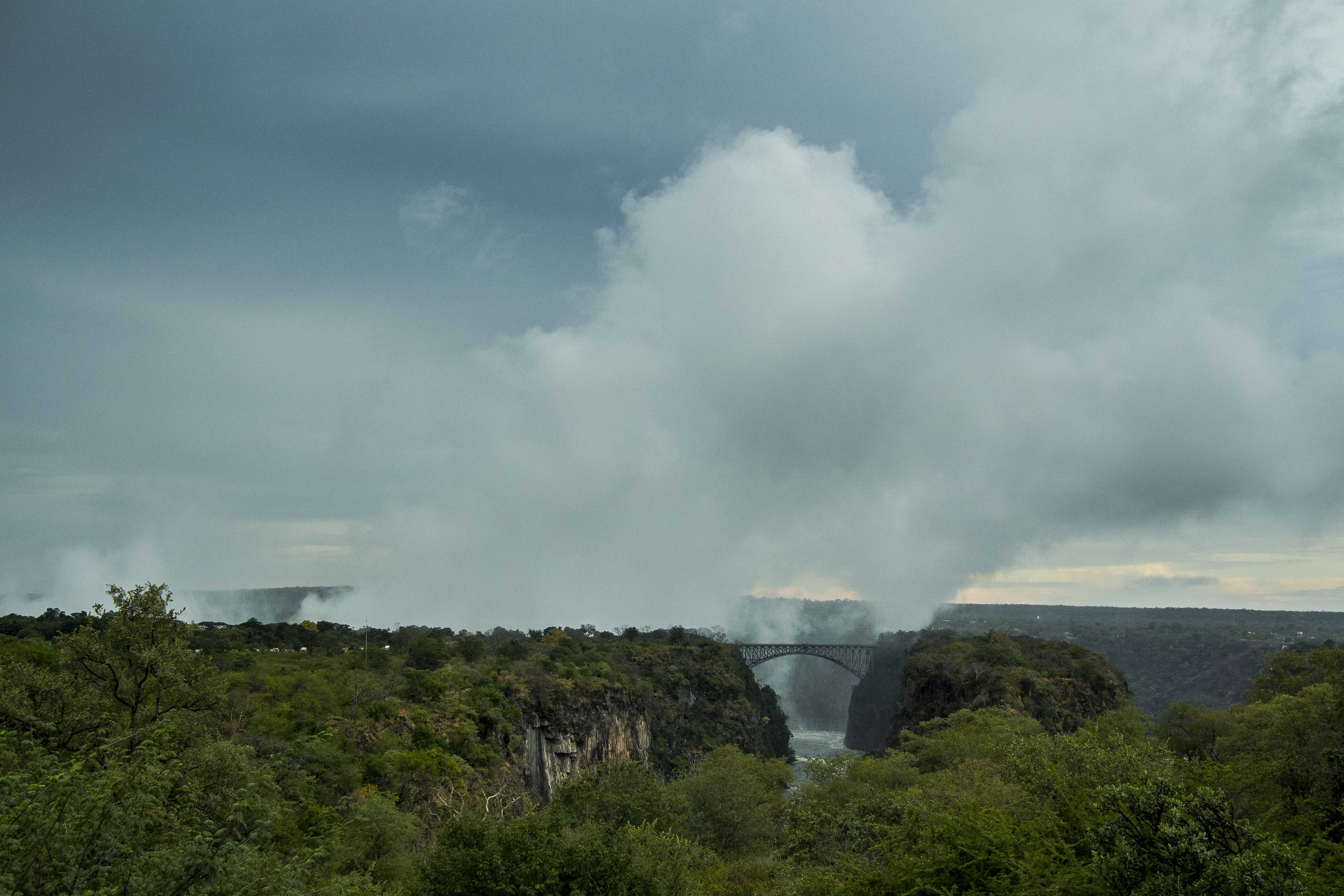
Cumulus mediocris cataractagenitus
Clouds may form locally in the vicinity of large waterfalls as a consequence of water being broken up into spray by the falls. The downdraught caused by the falling water is compensated by the locally ascending motion of the air, from which clouds may condense. This picture shows rising domes of Cumulus, of at least moderate extent, that have formed above the Victoria Falls, Zimbabwe; this is Cumulus mediocris cataractagenitus.
Links in the image description will highlight features on the image. Mouse over the features for more detail.
© Juan Carlos Molina GiménezVictoria Falls, ZimbabweLatitude: 17° 55' 50'' SLongitude: 25° 50' 36'' E26 April 2014 1703 (Local Time)Camera direction: towards ECL = 2, CM = /, CH = /Image P/S code: P.9.19Image I.D.: 5463