© Eric Van Lochem
Saint John, New Brunswick, Canada
Latitude: 45° 16' 24'' N
Longitude: 66° 3' 48'' W
06 January 2015 0730 (Local Time)
Camera direction: towards S
Image P/S code: S.11.1.1.5.1
Image I.D.: 5513
-
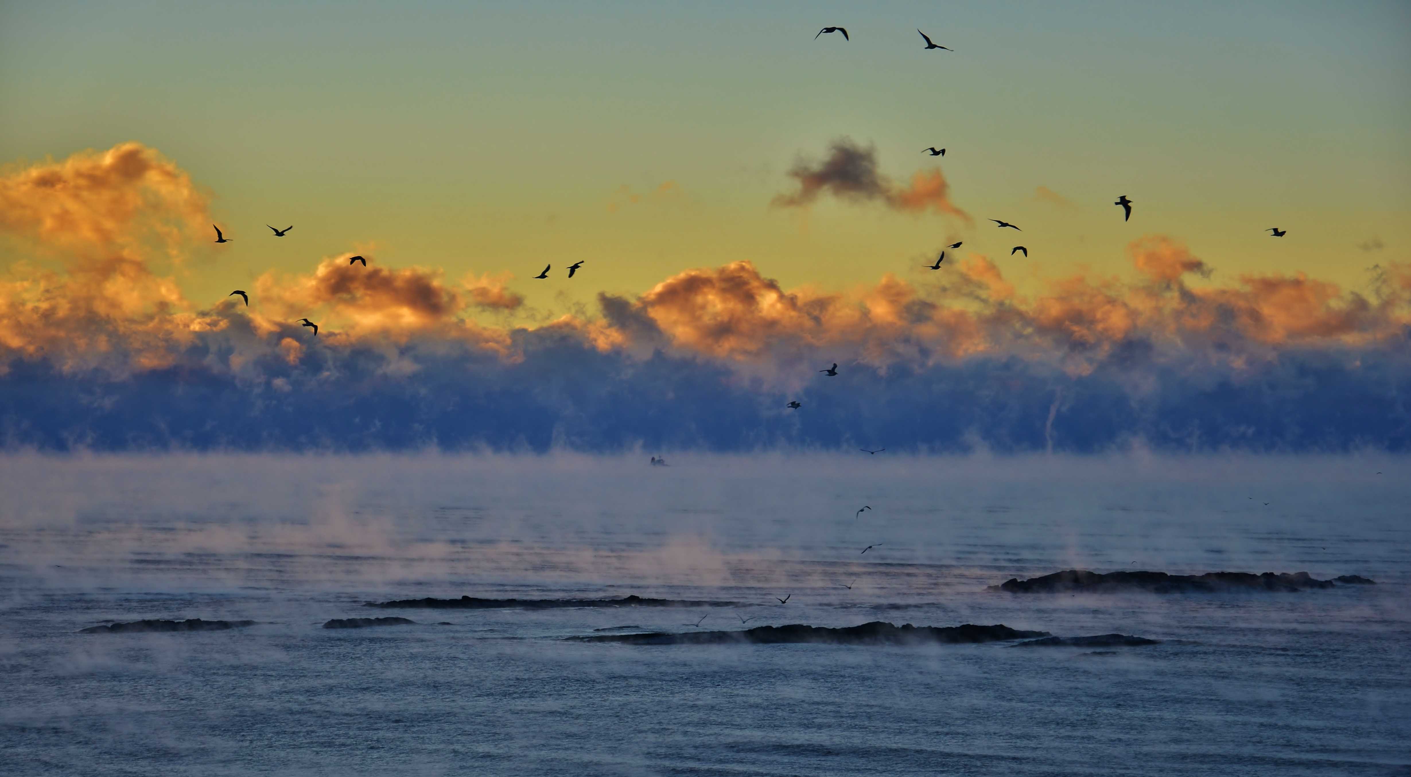
Arctic sea smoke
A very cold Arctic air mass (-20 °C) was present over the unfrozen waters of the Bay of Fundy, New Brunswick, Canada. In comparison, the sea was relatively warm, with a difference of around 30 °C between the sea surface temperature and the air temperature at 2 m. Steam fog, or Arctic sea smoke, formed over the water and drifted south-east on a light north-westerly wind. Snow showers occurred to the lee of the bay, over Nova Scotia (beyond the background Cumulus clouds).
Links in the image description will highlight features on the image. Mouse over the features for more detail.
© Eric Van LochemSaint John, New Brunswick, CanadaLatitude: 45° 16' 24'' NLongitude: 66° 3' 48'' W06 January 2015 0730 (Local Time)Camera direction: towards SImage P/S code: S.11.1.1.5.1Image I.D.: 5513
Steam fog/evaporation fog
Evaporation fog is formed when cold, stable air moves over a much warmer body of water. Evaporation from the relatively warm water saturates the cold air above and water vapour condenses in the cold air, producing “steam fog”.
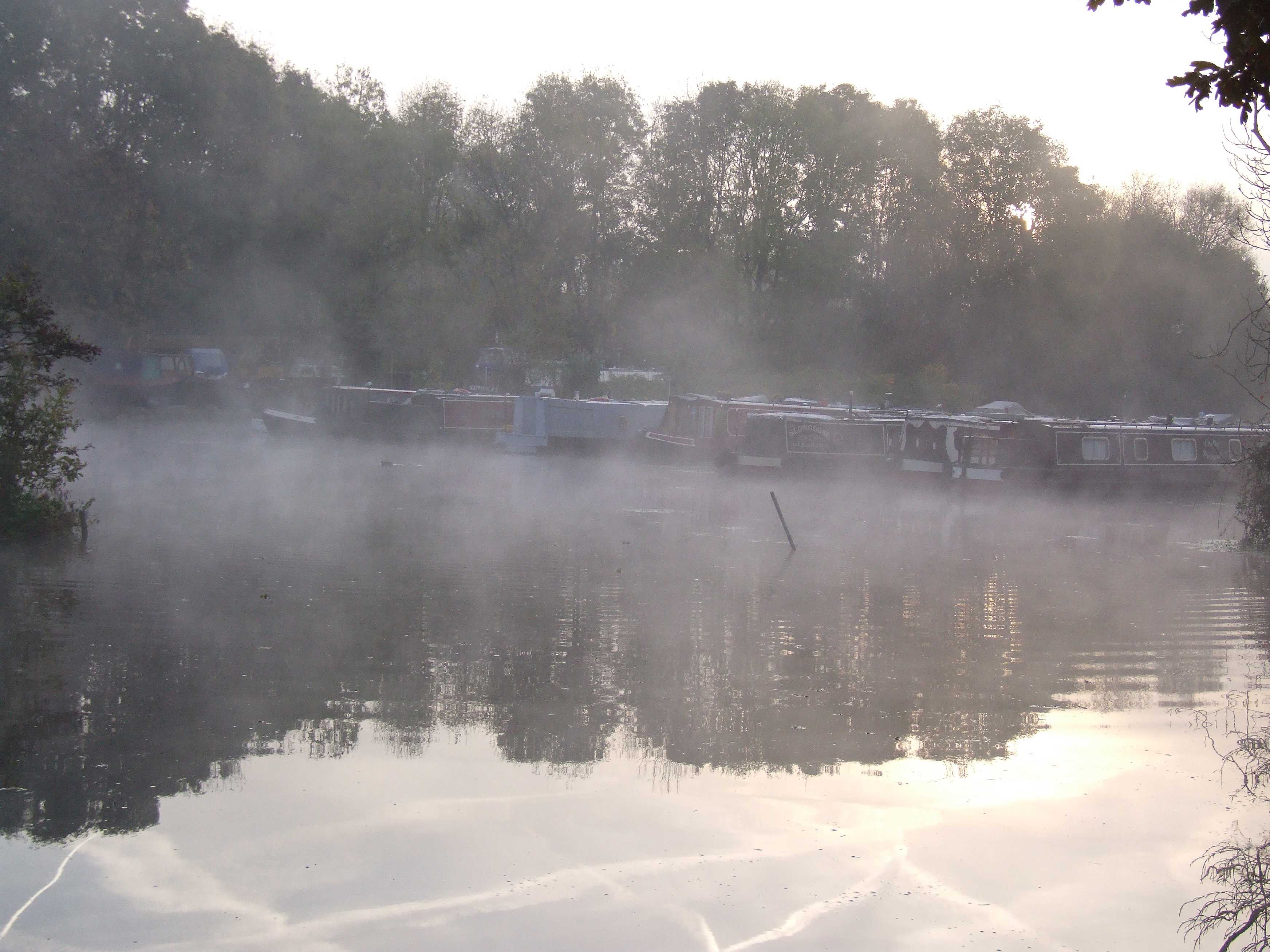
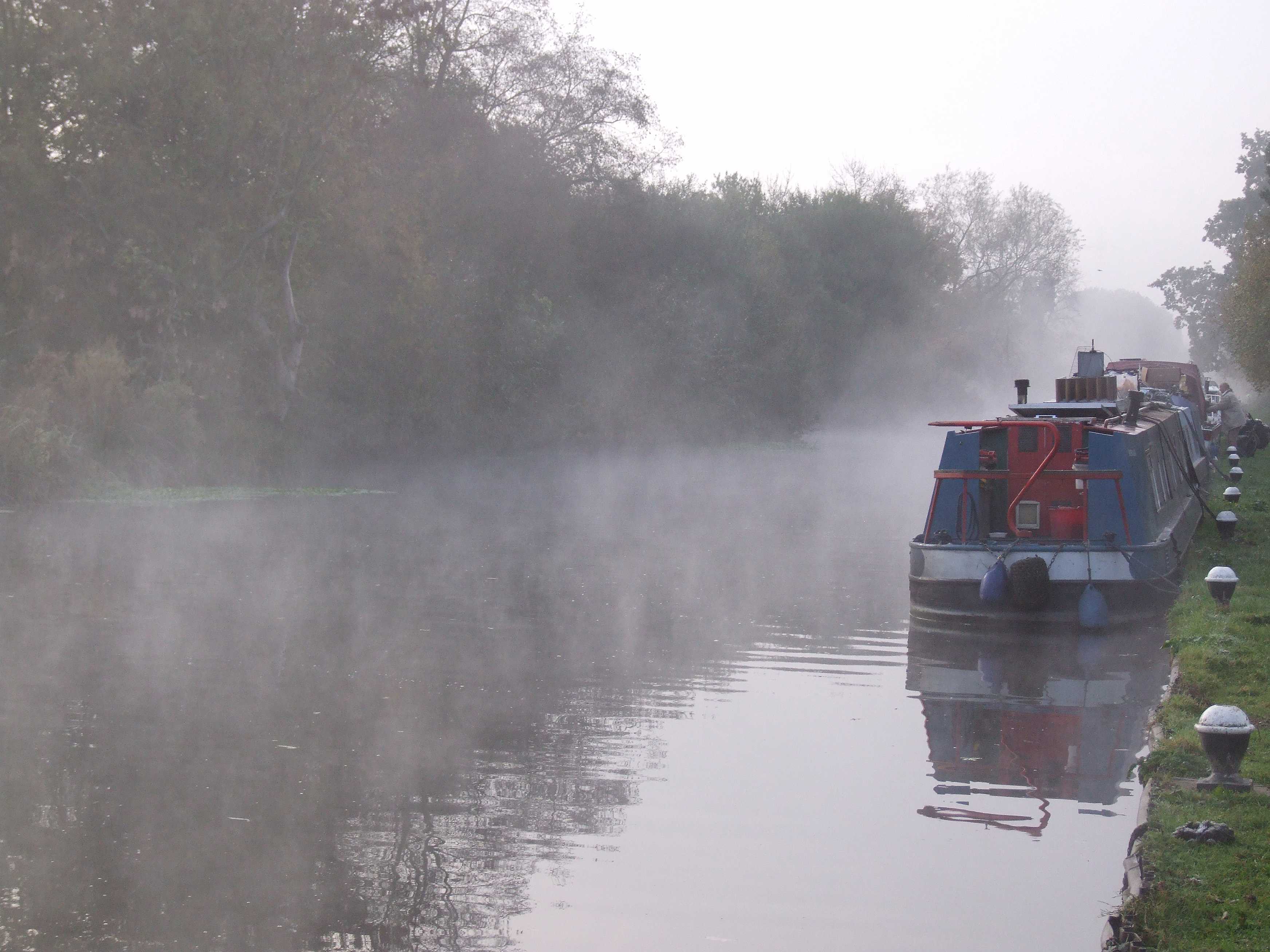
This picture shows steam fog, formed over the Grand Union Canal at Harefield in southern England, UK. The air temperature over the surrounding countryside fell by the end of the night to around, or just above, 0 °C. There was mist in some places, but in general radiation fog did not form over fields. However, the evaporation from water surfaces such as streams, rivers and, in this case, canals provided the very localized saturation necessary to form fog.
Links in the image description will highlight features on the image. Mouse over the features for more detail.
© George AndersonHarefield, England, United Kingdom of Great Britain and Northern IrelandLatitude: 51° 35' 6'' NLongitude: 0° 29' 8'' W03 November 2016 0740 (Local Time)Camera direction: towards EImage P/S code: P.11.1.1.5.1Image I.D.: 5187
Evaporation fog
Evaporation fog is formed when cold, stable air moves over a much warmer body of water. Evaporation from the relatively warm water saturates the cold air above. Water vapour then condenses in the cold air, producing “steam fog”.
This picture shows evaporation fog, or steam fog, formed over the water of the Grand Union Canal at Harefield in southern England, UK. The air temperature over the surrounding countryside fell by the end of the night to around, or just above, 0 °C. There was mist in some places, but in general radiation fog did not form over fields. However, the evaporation from water surfaces such as streams, rivers and, in this case, canals provided the very localized saturation necessary to form fog.
Links in the image description will highlight features on the image. Mouse over the features for more detail.
© George AndersonHarefield, England, United Kingdom of Great Britain and Northern IrelandLatitude: 51° 35' 11'' NLongitude: 0° 29' 9'' W03 November 2016 0734 (Local Time)Camera direction: towards SSEImage P/S code: P.11.1.1.5Image I.D.: 5188Fog
Fog is a suspension of very small, usually microscopic water droplets in the air, reducing visibility at the Earth's surface. The term is used when the horizontal visibility is reduced to less than 1 km. In this picture the visibility is only about 100 m.
The reduction in visibility depends on the structure of the fog, and especially on the number density and size distribution of the droplets. The structure may vary a great deal in time and space. However, in this particular example on the banks of the River Thames in Reading, England, UK at 1500 hours in the afternoon, the visibility changed only slowly and the fog persisted throughout the day.
A ridge of high pressure extended over southern England from an anticyclone centred over continental Europe.
Links in the image description will highlight features on the image. Mouse over the features for more detail.
© George AndersonReading, United Kingdom of Great Britain and Northern IrelandLatitude: 51° 27' 41'' NLongitude: 0° 57' 58'' W23 December 2007 1500 (Local Time)Camera direction: towards WImage P/S code: P.11.1.1Image I.D.: 4697

