© Chi Yung Lau
Chek Lap Kok, Hong Kong, China
Latitude: 22° 18' 55'' N
Longitude: 113° 55' 22'' E
19 July 2010 1156 (Local Time)
Camera direction: towards NW
Image P/S code: S.9.3
Image I.D.: 5901
CL = 2, CM = 0, CH = 8
-
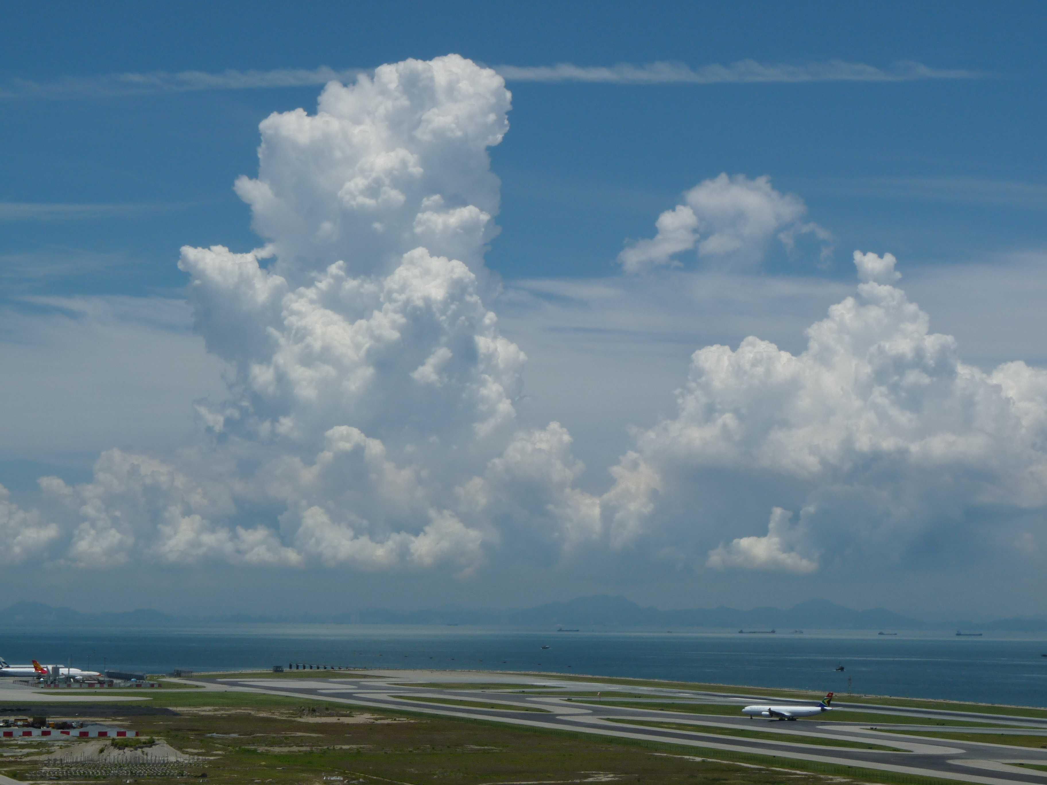
Cumulus congestus
Cumulus congestus are strongly sprouting Cumulus clouds with generally sharp outlines and are of moderate to strong vertical extent; sometimes congestus resemble narrow, very high towers. The bulging upper part frequently resembles a cauliflower. Cumulus congestus usually develops from Cumulus mediocris (3 and 4) and may produce precipitation in the form of showers, though none can be seen in this image. Visible in the background of this photograph are Cirrostratus and, near the top, an aircraft condensation trail.
Links in the image description will highlight features on the image. Mouse over the features for more detail.
© Chi Yung LauChek Lap Kok, Hong Kong, ChinaLatitude: 22° 18' 55'' NLongitude: 113° 55' 22'' E19 July 2010 1156 (Local Time)Camera direction: towards NWCL = 2, CM = 0, CH = 8Image P/S code: S.9.3Image I.D.: 5901Cumulus congestus
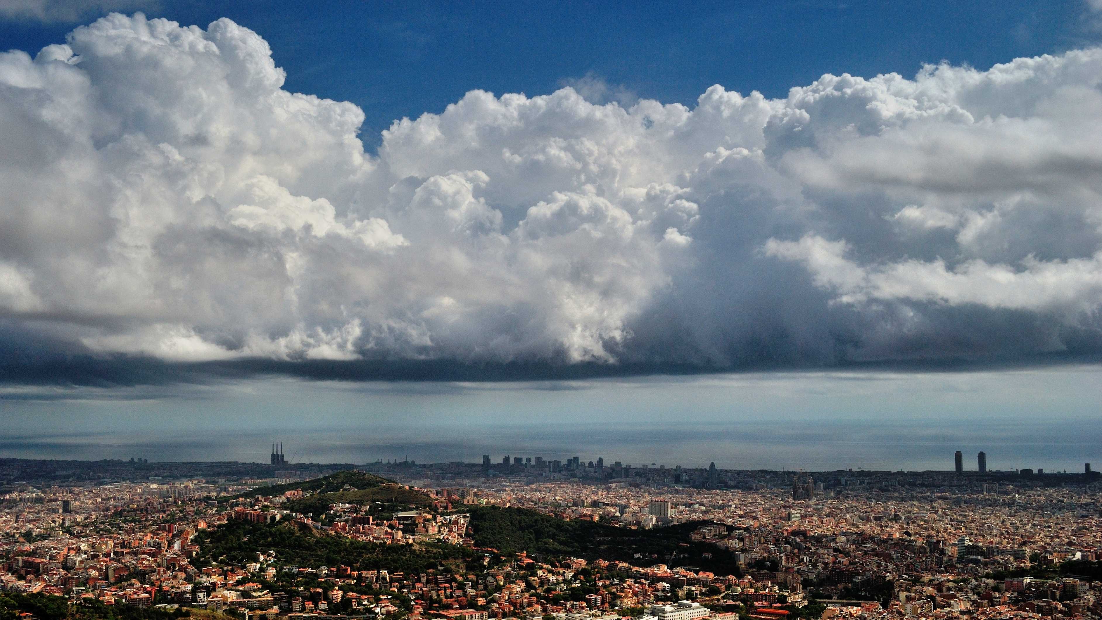
Cumulus clouds are generally dense with sharp outlines, developing vertically in the form of rising mounds, domes or towers. Cumulus are normally detached clouds; while it is not possible to determine if these clouds are detached in this image, shadows on the sea just beyond the coast suggest a degree of separation of the main cells. They also have the characteristic very bright white sunlit parts; relatively dark and nearly horizontal base; and strong vertical extent associated with Cumulus. Significantly, the strong sprouting with sharp outlines and bulging upper parts that resemble a cauliflower at 4 and 5 determine the species to be congestus.
Links in the image description will highlight features on the image. Mouse over the features for more detail.
© Alfons PuertasVallvidrera, Barcelona, SpainLatitude: 41° 25' 6'' NLongitude: 2° 7' 27'' E15 September 2015 1406 (Local Time)Camera direction: towards SECL = 2, CM = 0, CH = 1Image P/S code: P.9.3Image I.D.: 4766

